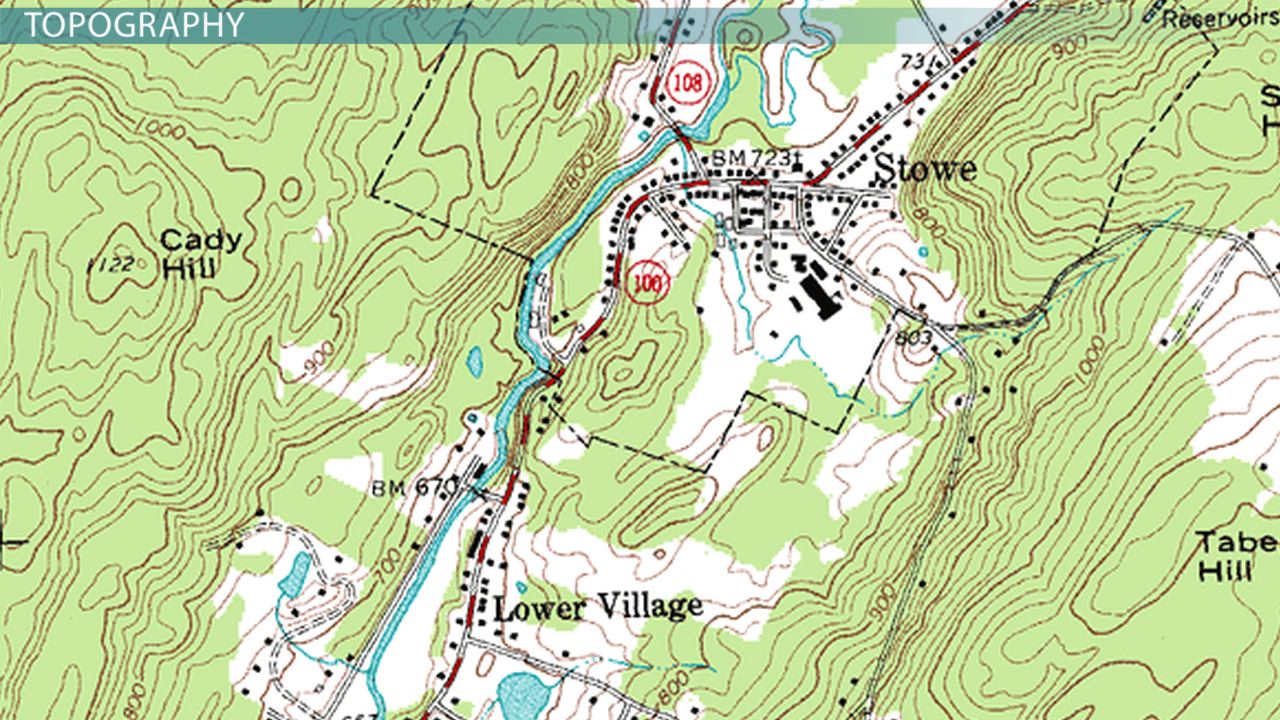
Topographic maps are detailed and accurate representations of natural and human-made features on the earth’s surface. Some of the features of topographic maps include:
- Contour lines: These are lines that connect points of equal elevation. They help to visualize the shape and slope of the terrain.
- Relief: This refers to the differences in elevation on the surface of the earth. Topographic maps represent relief using contour lines, shading, or hill shading.
- Landforms: These are the natural features found on the earth’s surface, such as mountains, hills, valleys, and rivers. Topographic maps show these features using symbols and shading.
- Human-made features: These are features created by humans, such as roads, buildings, and bridges. Topographic maps include these features using symbols.
- Scale: Topographic maps have a specific scale that represents the relationship between the size of the map and the size of the area being mapped. This helps to determine distances and areas accurately.
- Projection: This refers to the method used to flatten the curved surface of the earth onto a two-dimensional map. Different projection methods can result in different map distortions.
- Contour interval: This is the vertical distance between contour lines on the map. The contour interval is chosen to represent the terrain accurately while still allowing for clear visualization.
- Accuracy: Topographic maps are highly accurate and use precise measurements and survey data to represent features on the earth’s surface.
Main uses of topographic maps
Topographic maps are useful for a variety of purposes:
- including hiking,
- surveying,
- and resource management.
- They are also used for scientific purposes, such as studying the earth’s surface and tracking changes over time.


