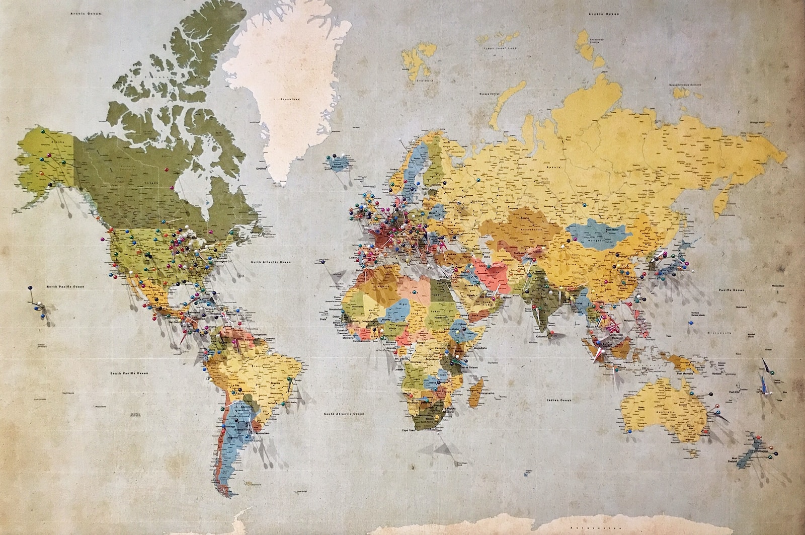
- Maps are an essential tool for representing and navigating the world around us.
- Different types of maps serve different purposes and display different types of information.
Topographical maps:
- Display the physical features of an area, including elevation, landforms, and bodies of water.
- Useful for hiking, surveying, and geological research.
- Often use contour lines to show changes in elevation.
Political maps:
- Display political boundaries and divisions, such as countries, states, and cities.
- Useful for understanding political systems and the distribution of power.
- Often use different colors or shading to represent different regions or countries.
Physical maps:
- Display the natural features of an area, such as landforms, bodies of water, and vegetation.
- Useful for understanding the natural environment and the distribution of natural resources.
- Often use different colors or shading to represent different types of natural features.
Economic maps:
- Display information about economic activity, such as trade routes, natural resources, and industries.
- Useful for understanding patterns of economic development and activity.
- Often use different symbols or colors to represent different types of economic information.
Climate maps:
- Display information about climate, such as temperature, precipitation, and wind patterns.
- Useful for understanding climate patterns and trends.
- Often use different colors or shading to represent different types of climate zones.
Road maps:
- Display roads, highways, and other transportation infrastructure.
- Useful for navigation and trip planning.
- Often include information about points of interest, such as rest stops and gas stations.
Satellite maps:
- Use satellite imagery to display a bird’s-eye view of an area.
- Useful for understanding the layout and features of an area from above.
- Often used for scientific research, urban planning, and environmental monitoring.
Historical maps:
- Display information about past events, such as the location of battles, political boundaries, and transportation routes.
- Useful for understanding historical context and changes over time.
- Often use different symbols or shading to represent different time periods or historical events.


