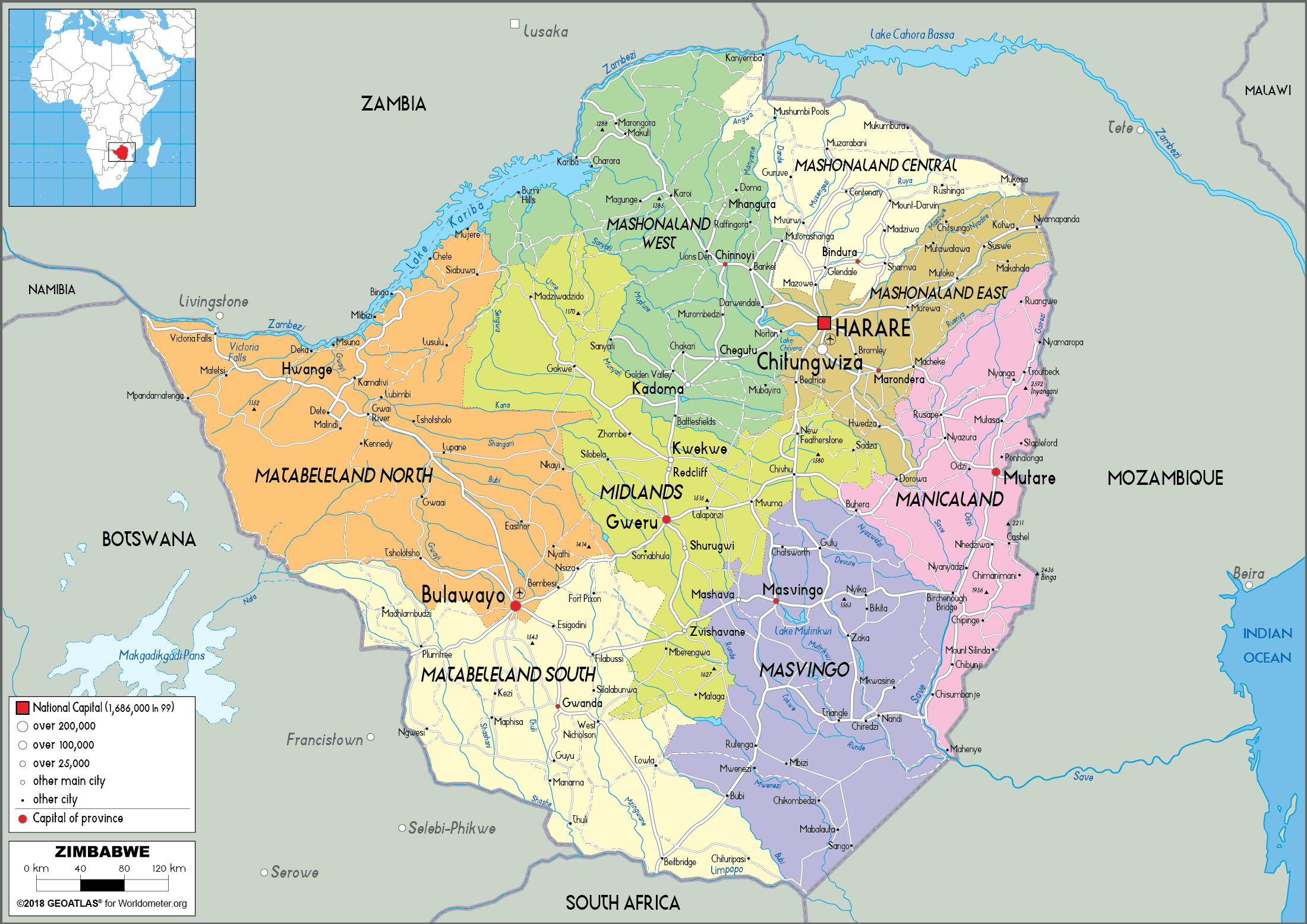
- Depicts political boundaries such as national, state, and local boundaries
- Shows the locations of cities, capitals, and major towns
- Differentiates political regions with different colours, patterns or shading
- May include additional information such as population density, demographic data, and political affiliations
- Useful for understanding political geography and analyzing election results
- Often used by governments, policymakers, and academics to analyze geopolitical trends
- Can be used for planning and decision making in areas such as urban planning and emergency management
- May be used by travellers to understand different countries’ political structures and boundaries
Uses of Political Maps:
- Understanding the distribution of political power and government structures
- Analyzing political trends and changes over time
- Planning and decision-making in areas such as urban planning and emergency management
- Understanding different countries’ political structures and boundaries for travellers and international businesses
- Educational purposes for teaching political geography and geopolitics
- Historical analysis of political changes and boundaries
Examples of Political Maps:
- World map with country borders and capital cities
- Map of the United States with state borders and major cities
- Map of Europe with country borders and major cities
- Map of Africa with country borders and national capitals
- Electoral maps showing election results by region or district
- Map of voting districts for a city or state.


