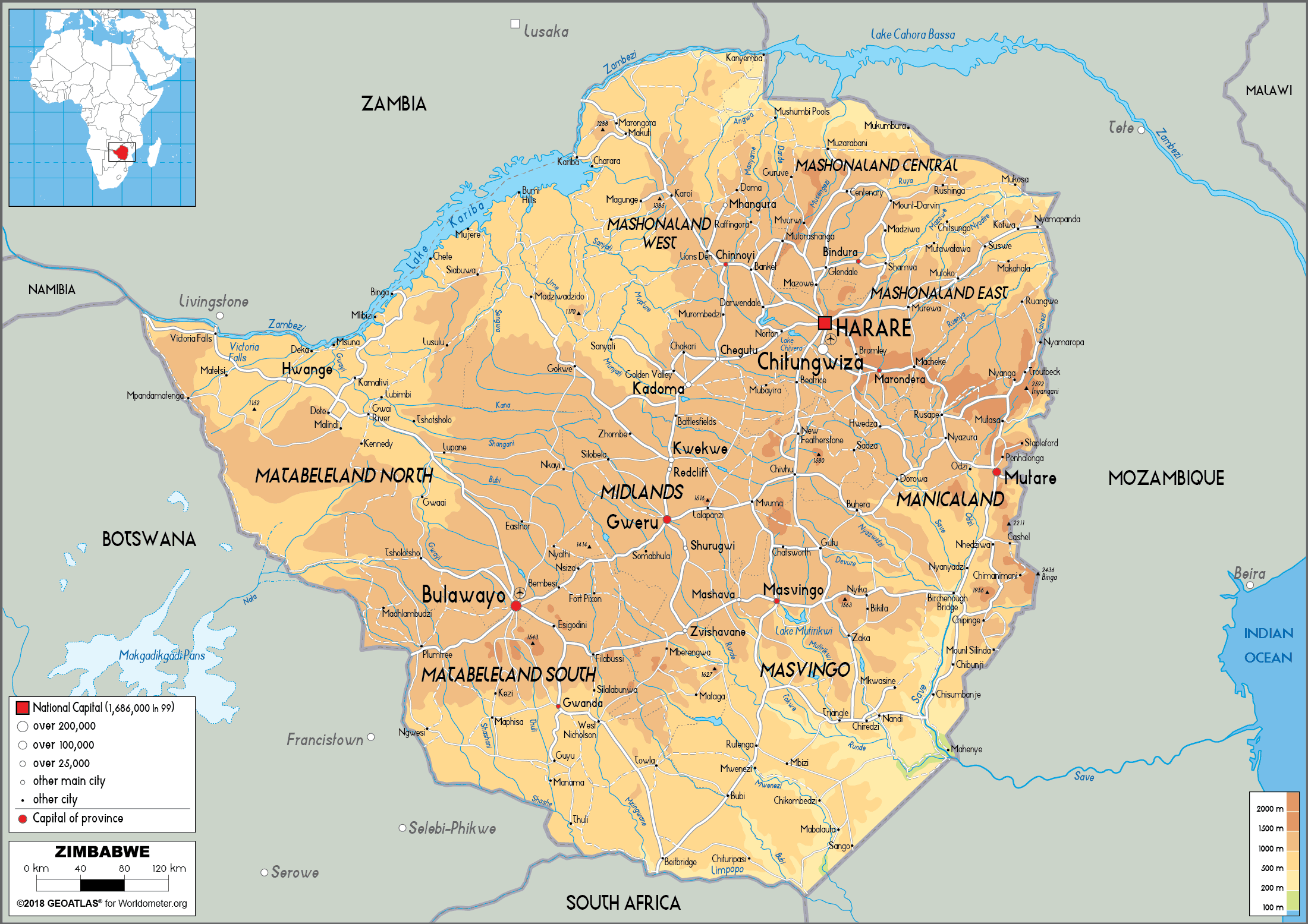
- Depicts physical features of the earth’s surface such as mountains, rivers, lakes, and other natural landforms.
- Uses contour lines, shading, and different colors to indicate variations in elevation and terrain.
- Often includes relief shading or hypsometric tints to show changes in elevation.
- Provides a three-dimensional representation of the earth’s surface.
- May include insets or enlarged portions of certain areas to show more detail.
- Often includes a key or legend to interpret symbols and colors used on the map.
- Scale is generally larger than political maps, allowing for more detailed representation of physical features.
- Useful for scientific research, outdoor recreation, and natural resource management.
Examples of physical maps:
- Topographic maps
- Geologic maps
- Bathymetric maps
- Climate maps
- Soil maps
Uses of physical maps:
- Useful for navigation and understanding the geography of a particular area.
- Important for geological studies, particularly in the search for natural resources.
- Helps in natural disaster preparedness and response, particularly for areas prone to flooding, landslides, and other natural hazards.
- Useful for planning outdoor recreation activities such as hiking, camping, and skiing.
- Helpful for understanding climate patterns and changes.
Limitations of physical maps:
- Limited information on human-made features such as roads, buildings, and cities.
- May not be as useful for political or economic analysis.
- Can be difficult to interpret without knowledge of map symbols and scales.


