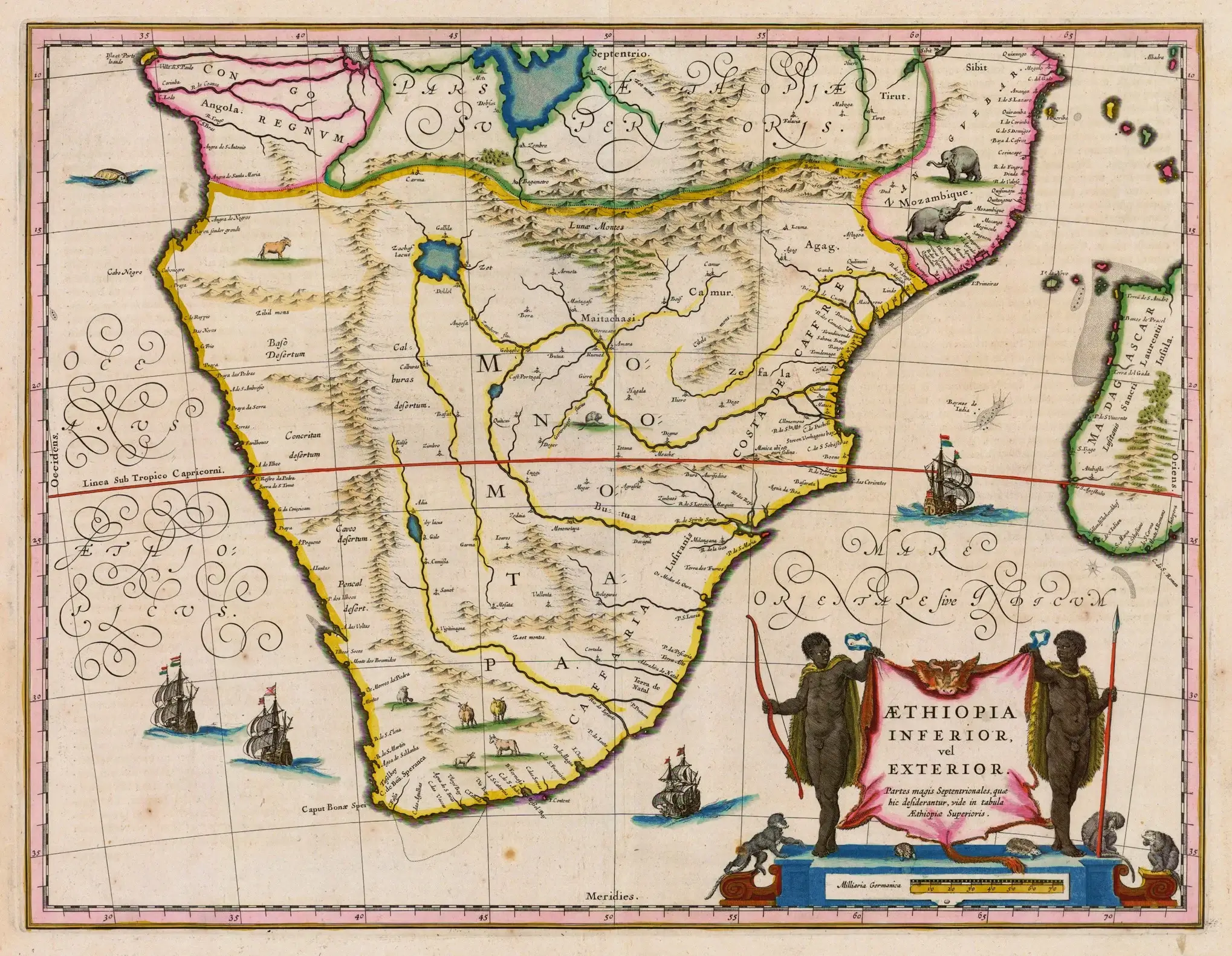
- Historical maps are maps that show geographical features and political boundaries of past periods.
Characteristics of Historical Maps:
- Visual representation of past geographical features
- Indicate past political boundaries
- May include annotations or illustrations indicating events that occurred in a specific time period
- Often created for a specific purpose or audience
- Limited accuracy due to limited technology and surveying methods available during the time period of the map
- May have cultural or artistic value as well as historical value
- Can be used for research or educational purposes to better understand the past
- May provide insight into the changes that have occurred over time in a particular region or location
Uses of Historical Maps:
- Provide insight into past land use and development
- Help in reconstructing the history of a region or location
- Help to understand the cultural and social context of a particular time period
- Provide insight into the evolution of cartography and surveying techniques
- Can be used to analyze and compare past and present maps to understand the changes that have occurred over time
- Provide context for historical events and aid in their interpretation
Drawbacks of Historical Maps:
- Limited accuracy and precision
- May be outdated and not reflect current conditions
- May not include certain features or areas due to lack of knowledge or surveying techniques at the time of creation
- Can be difficult to read and interpret due to differences in symbols and notation compared to modern maps


