Rainfall
 Rainfall. Image via the Herald. ZIMSEC O Level Geography Notes: Rainfall.
- Rainfall is just one form of precipitation.
- Precipitation occurs when warm moist air rises or is forced to rise.
- Water vapor in the air parcel cools and condenses to form clouds.
- This is because temperature falls with increase […]
 A cutaway showing the internal structure of the earth. Image by Teachastronomy. ZIMSEC O Level Geography Notes: The Internal Structure of the Earth
  Fertile volcanic soil Kenya. Image credit
 Wind transportation methods. Image credit
  River deposition (left bank). Image credit
  The drainage basin. Image credit
 An ocean bulk carrier. Image credit
 Illegal houses being demolished in Epworth, Harare. Image credit
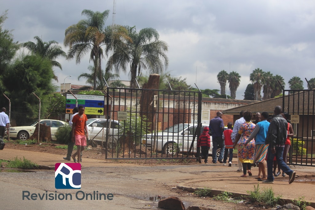
 A map showing the tropics. Image credit MediaWiki